Navigation and Safety on Less-Signed Paths
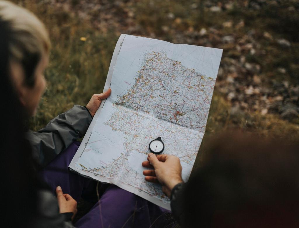
Carry a printed topo map and a compass, even if you use a GPS app. Download offline layers, mark water sources, and set waypoints at junctions. Tell us your favorite tools for overlooked national park hiking routes, and we’ll test them in an upcoming field review for subscribers.
Navigation and Safety on Less-Signed Paths
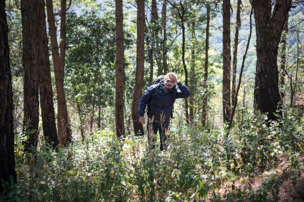
Remote paths often have fewer water caches and greater exposure. In Big Bend or Canyonlands, a cloudless forecast can still turn punishing by noon. Pack extra water, electrolytes, and a sun layer. Share your hydration strategies below so others can explore safely without learning the hard way.